In this blog, we traveled from Naran to Hunza via Babusar Pass, covering a distance of 317 km via N – 15 and N – 35 via Babusar Top with an altitude of 13,691 ft.
Let’s start the journey from the beginning in Naran Valley. I woke up early in the morning at about 06:00 am. The weather was too cold, -1 degree, and the water was too cold.
After refreshing, I went to a restaurant for breakfast. I ordered tea and paratha, and the cost was about Rs 70.
Read Also – LAHORE TO ISLAMABAD SOLO BIKE RIDE
I don’t want to stay a minute in Naran because it is too cold. So, I began my journey from Naran to Hunza via Babusar Top on a bike.
Firstly, I thought I would end up in Gilgit, but as I arrived early in Gilgit, I decided to go to Hunza. The distance from Naran to Babusar Top is 70 km, Lulusar Lake is 52 km, and Hunza is about 317 km.
Watch Also – Khunjerab China Border Trip | Hyderabad To Khunjerab Solo Bike Ride | Trailer
The road conditions were not as good as traveling from Naran, but after covering 15 km road conditions were gradually good, and the roads were under construction. Now roads are in good condition and built. (Updated on: 11 December 2023).
After a ride of one and a half hours, we arrived at Lulusar Lake. The view of the Lake was beautiful. Lulusar Lake is a water lake, and the water looks greenish.

Babusar Top
Table of Contents
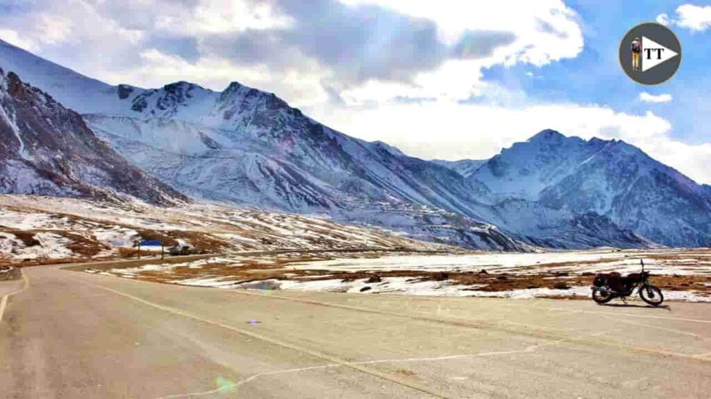
It took two hours by bike to reach Babusar Top. Babusar Top, also called Babusar Pass, is the highest mountain pass with an altitude of 13,691 ft (4,173 m) above sea level, and 70 km from Naran in the north of Pakistan.
The Babusar Top connects to Naran and Chilas on the Karakoram Highway. I reached Babusar Top by riding a 100cc bike. The bike’s speed was too slow, and putting too much force and time while going uphill.
As I went down from the Babusar Top, I met many children, who were pleased to talk to me, and I presented them with some toffees and moved ahead.
As I rode towards Chilas, the weather was delightful and got normal (not too hot nor too cold). But usually, Chilas is hot in summer, while Babusar Top is also hot in summer.
After leaving Chilas, the Karakoram was very rough, dirty, and scary due to one side of the river being closed while the other side had giant mountains, traffic jams in that specific place, and just a single road. We just drive slowly and wait for some time for passing vehicles.
Related Post:-
Tax-Free Gilgit Baltistan
We saw a petrol pump in the morning and filled the petrol tank of a bike. The petrol rate was Rs 104, which is cheaper than in Islamabad capital city of Pakistan. We asked him why you are selling cheaper than in Islamabad, and they said we don’t pay Tax. It is Tax-free petrol in Gilgit-Baltistan. While the petrol rate in Islamabad is Rs 104.50/-
Rai Kot Bridge
We reached Rai Kot Bridge, where you can go to see Nanga Parbat and Fairy Meadows. Gilgit is still 78 km from the Rai Kot bridge. I read some books and blogs about the Rai Kot Bridge.
Read Also – ZU BICYCLE PESHAWAR LAUNCHED
Gilgit To Hunza Distance
I arrived at Gilgit around 04:00 pm and stopped there due to the headlight breaking down. I went to a repair shop, and he fixed my headlight for just Rs 20. He was a nice person. I thanked him and moved ahead.
Firstly, I thought I should stay in Gilgit, but after fixing the headlight and the rain stopped, my plan changed, and I traveled to Hunza. The distance from Gilgit to Hunza is 120 km.

1Sand Storm

I just almost left 10 km from Gilgit, the weather was too bad, raining, and a heavy sandstorm occurred. So, I just stopped at a small village, and the people were nice. I parked my bike in a newly built empty shop. After the rain stopped, we moved towards Hunza.
I enjoyed the route from Naran to Hunza. I stopped riding around 07:30 pm. In the evening, I hardly find a nice hotel in very cold weather at just Rs 300. They were nice people, and they offered me free lunch and tea, as I was too hungry.
Maybe You Like:-
If you find this article helpful, please feel free to give us feedback. We read every single comment.
Read Also:- 7 Best Places to visit in Naran Kaghan

